
Turning geospatial data into opportunity.
Zonovi is an independent geospatial consultancy delivering strategic advisory, digital field app development, workflow automation, and mapping resource and solutions for the environmental and planning sectors.
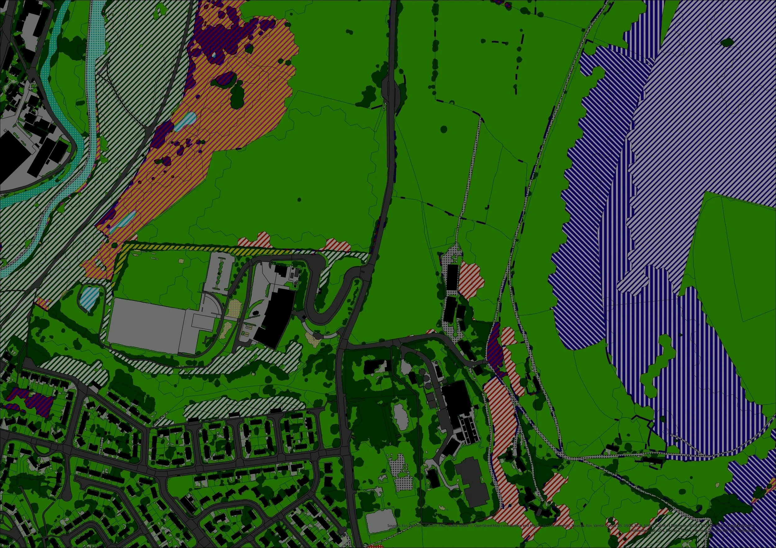
Contains OS data © Crown copyright and database right 2026Four ways we move your projects forward.
With nearly two decades of sector and technical expertise, Zonovi helps environmental and ecological consultancies, land planners, and developers turn spatial data into opportunities and intelligence.
-
Your in-house GIS team or an agile extension of your team for peak workloads and complex tenders.
The Benefit: Scale up expert GIS capacity without the overhead of full-time headcount.
-
Custom apps and field data collection tools (ArcGIS Survey123, Field Maps) for ecologists, arboriculturists, and geo-environmental consultants.
The Benefit: Enable better collaboration, cut field-to-report turnaround times and eliminate manual data entry.
-
Specialised screening tools for BNG, flood risk, climate risk, topography, and planning designations.
The Benefit: Assess site viability quickly and de-risk planning applications early saving time and money.
-
We identify untapped opportunities and build the spatial data strategy, architecture, and workflows to capture them.
The Benefit: Modernise your digital infrastructure and maintain a sharp competitive edge.
Technical depth. Industry insight.
Zonovi work with environmental consultancies, ecologists, land planners, and developers. We keep projects moving efficiently, whether that's through mapping support, developing mobile data collections apps, automating a repetitive workflow, or building a long-term geospatial strategy.
Let's talk about what's possible.
Whether it's an immediate mapping issue you need help with, data collection innovation, a repetitive workflow, or a long-term spatial strategy. Get in touch to see how Zonovi can help.