
Mapping the August 2026 New Forest Heathland Wildfire
Satellite-derived change detection using Copernicus Sentinel-2 optical imagery
The Incident: What Happened?
On the afternoon of Sunday, 9 August 2026, a vehicle fire on the A31 dual carriageway near Picket Post rapidly spread into the surrounding lowland heathland of the New Forest National Park. Fanned by dry summer conditions and shifting winds, the blaze escalated into a major incident, leading to the emergency closure of the A31 and a coordinated multi-agency response.
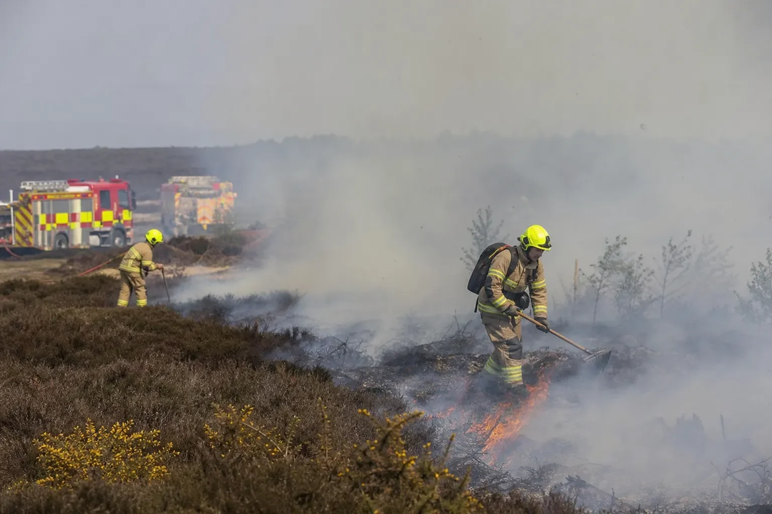
Over 120 firefighters from Hampshire & Isle of Wight Fire and Rescue Service (along with mutual aid from neighbouring services) tackled the incident. Teams deployed off-road units, police surveillance drones, and an 8 km overland high-volume pumping hose from Hightown Lake in Ringwood to deliver water across difficult rural terrain. The fire burned actively across multiple days before being brought under control, leaving extensive burn scars across environmentally sensitive lowland heath.
Understanding the Scale
Geospatial mapping and satellite imagery analysis by Zonovi confirm that the burn scar encompasses approximately 100 hectares (1 square kilometre / ~250 acres):
The equivalent of around 140 standard full-size football pitches laid side by side.
Roughly equivalent to 240 Wembley Stadium pitches of continuous open heath and dry valley bog habitat.
Lowland heathland is one of the rarest habitats in Western Europe, supporting specialist species such as Dartford warblers, nightjars, sand lizards, and smooth snakes. The loss of vegetative cover and heather canopy across this footprint marks a significant ecological event that will require decades of monitored recovery and habitat restoration.
How to Use the Swipe Tool:
Click and Drag the Divider: Grab the vertical bar in the centre of the map with your cursor (or finger on touch devices) and slide it left and right to reveal the landscape before and after the event.
Zoom & Pan: Use the + / – buttons or your mouse scroll wheel to zoom into specific boundaries, road verges, and fire-break lines. Click and drag the map canvas to navigate.
Explore the Extent: Look at how the fire boundary tracked along the A31 corridor and open heath, stopping against topographical changes and access tracks where fire crews established containment lines.
Copernicus Sentinel data [2026] for Sentinel-2 MSI L2A imagery acquired on 29 July 2026 and 15 August 2026. Processed by Ben Blowers / Zonovi Ltd. Contains modified Copernicus Sentinel data.
Change Detection: Pre vs. Post-Fire
The interactive application below compares Copernicus Sentinel-2 True-Colour (RGB) satellite imagery captured before and after the blaze:
Left / Pre-Fire (29 July 2026): Shows the intact heathland canopy, characterized by healthy vegetative reflectance (greens and muted heath browns).
Right / Post-Fire (15 August 2026): Clearly shows the stark, darker burn scar contrasting sharply against the unburned surrounding landscape.
Earth Observation & GIS Methodology
Sensor: Sentinel-2 MSI (Multi-Spectral Instrument), European Space Agency (ESA) Copernicus Programme.
Bands Used: Natural colour composite (B04 - Red, B03 - Green, B02 - Blue) at 10 m spatial resolution.
Temporal Baseline: 29 July 2026 (pre-fire baseline) vs. 15 August 2026 (post-event cloud-free pass).
Application Framework: Built using ArcGIS Experience Builder and Esri Web Maps, utilizing web-optimised raster tiling and interactive swipe widgets for public engagement and ecological assessment.