
GIS and digital tools for ecology & environmental consultancies
Your GIS and digital expert, when you need one.
Report-ready figures, field apps, site screening and office tools for ecologists and environmental consultants. Send a red line boundary, a folder of site photos or a messy spreadsheet. Get back work that drops straight into the report, in your company brand style.
- 16+ years in environmental GIS
- Maps, field apps and office tools
- England, Wales and Scotland
Services
What I can take off your desk
Five things consultancies ask me for most. Each one is priced the way you would expect to buy it.
Mapping and figures
Extra capacity in survey season, before bid deadlines, or every week.
- Site location and red line plans
- UKHab habitat and condition maps
- BNG metric figures, baseline and post-development
- Bat, GCN, badger and reptile survey figures
- Designations and constraints plans
Per job from £100, or regular days at a day rate
Field apps and report templates
Replace paper sheets and re-typing with forms your surveyors can use offline.
- Bat emergence, tree and building assessment forms
- GCN, HSI, reptile, badger, water vole and invasive species forms
- UKHab and habitat condition assessment sheets
- Site walkover and borehole daily diaries
- Branded Word reports generated from Survey123
Fixed fee per app or template
Digital transformation
GIS teams spend a third of their time preparing data before any analysis starts (Landmark, 2026). These tools take that repetitive work out of the office, so every job takes fewer hours.
- Photo report generators: a folder of site photos into a captioned, numbered Word log
- Data converters for survey exports, shapefiles, KML, CAD and spreadsheets
- UKHab GIS exports loaded into the Statutory BNG Metric workbook
- Excel and Word automation for registers, schedules and standard reports
- Python scripts for repetitive file and data tasks
Fixed fee per tool
Site screening
Know what a site is carrying before you quote, bid or buy.
- BNG desk-based screening with habitat cost scenarios
- Flood risk, designations and topography checks
- Multi-site portfolio registers ranked by risk
- Batch A4 site plans for every site
Fixed fee per site, with portfolio rates
GIS set-up and training
For teams that want to do more of their own mapping.
- Skills baselines and training plans for your team
- GIS project templates with your A4 and A3 layouts
- Pre-loaded open data from EA, Natural England and BGS
- ArcGIS Online and Field Maps onboarding
- Remote training and a plain-English user guide
Fixed fee, scoped up front
GIS leadership
You might not need a GIS manager
When GIS demand grows, the usual answer is a job advert. But a new hire takes three to six months to get up to speed, and you pay for a full-time desk all year, even when survey season winds down. For many teams, one day a week from someone who has already led a GIS team is all the leadership they need.
- 83%of GIS professionals have seen demand for spatial data rise in the past year
- 78%say that demand is growing faster than their team can deliver
- 80%expect the GIS skills gap to widen over the next two to three years
Source: Landmark, The State of Geospatial Intelligence Adoption, 2026
£71,000
Realistic year-one cost once you add employer NI, pension, recruitment fees, software and hardware. Over £130,000 if the hire goes wrong. See how that adds up
Less than half
Productive from day one. No recruitment fees, NI, pension or kit, and four weeks' notice if you no longer need it.
I have more than 16 years in environmental GIS, including five years as GIS lead for a multidisciplinary team at a large environmental consultancy. I can take on the same role in your organisation as a contractor, for as many days as the work needs, and scale up for survey season or a big bid.
- Skills and capability baselineFind out where your team is now across skills, software, data and workflows, and what to fix first.
- Templates and standardsProject templates, data standards and map layouts so everyone produces consistent, on-brand work.
- Tools and trainingArcGIS and QGIS toolboxes, user guides and training aimed at the gaps the baseline finds.
- Team and resource managementPlan and prioritise GIS work, balance workloads and keep projects on programme.
- Leadership and mentoringOne-to-ones, work reviews and a senior person your GIS staff can learn from.
- Ongoing supportSomeone to ask when a project gets stuck or a tool stops working.
Ways to work together
Pick whichever suits the workload
Send it when you need it
Email a boundary and a short brief. I'll confirm the price before starting. Small jobs start at £100 and are invoiced together every fortnight.
A GIS person in your team
A set day each week, remote or on site, working in your systems and templates. Day rate, invoiced monthly, four weeks' notice to stop.
Apps, tools and set-up
Scoped and priced before work starts, so tool building never quietly eats into your mapping time.
No retainers and no long contracts. Whatever works best for you.
Recent work
Built for consultancies like yours
Client names are left out. Ask and I'll walk you through any of these on a call.
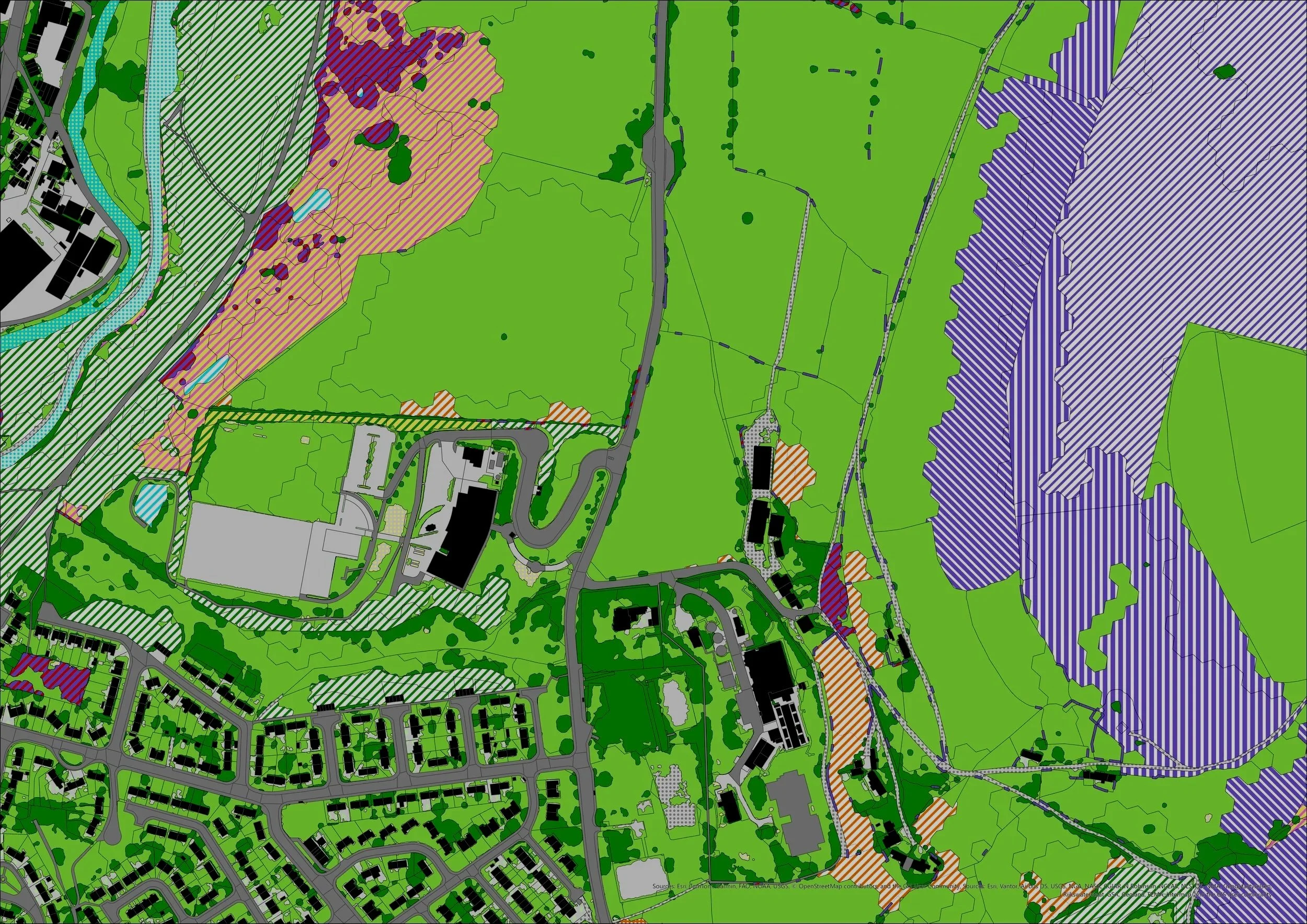
BNG Desk-Based Screening Tool
Builds a UKHab baseline from OS Enhanced Land Cover, scores distinctiveness against the statutory metric, and gives worst, moderate and best-case habitat cost scenarios for each site. Delivered as a four-map series with a short report.
- ArcGIS Pro
- Python
- Statutory metric
BNG Baseline Builder
Takes UKHab survey exports from ArcGIS Pro and fills in the baseline sheets of the Defra Statutory Biodiversity Metric in one click. It checks habitat areas against the site boundary, flags hedgerows and trees the metric won't score as recorded, and notes every assumption in the workbook for the ecologist to confirm. No re-keying parcels, and no transcription errors.
- ArcGIS Pro
- Statutory metric
- Browser tool
Ecology survey app suite
A set of Survey123 forms for an ecology consultancy, from ECoW checks and badger surveys to bat emergence, GCN HSI and habitat condition sheets, all on one ArcGIS Online account.
- Survey123
- Field Maps
- ArcGIS Online
Site walkover and borehole diaries
Survey123 forms with branded Word report templates for a geo-environmental team. Each borehole is its own submission, so several people can log on the same site at once.
- Survey123
- Report templates
Site walkover photo log tool
Turns a folder of site walkover photos into a numbered, captioned photo log in Word, laid out and ready to drop into the report. Built for an environmental consultancy to replace the copying, pasting and resizing that used to take hours on every job.
- Photo logs
- Word reports
- Automation
QGIS workspace for an environmental consultancy
A template project with England, Wales and Scotland data layers, branded A4 and A3 layouts, deployment to the team's OneDrive, a user guide and remote training.
- QGIS
- Open data
- Training
Land Registry INSPIRE polygon viewer
Click the map or enter a postcode to view and download HM Land Registry INSPIRE Index Polygons.
New Forest wildfire, before and after
Swipe between Sentinel-2 satellite images from 29 July and 15 August 2026 to see the heathland burnt in the August New Forest wildfire.

About
You'll work with me, Ben Blowers
I've spent more than 16 years doing GIS in the environmental and planning sector. I set up Zonovi so consultancies could get that experience directly, without an agency in the middle or a long contract.
I know what goes into an ecology report: UKHab codes, the statutory metric, survey windows and planning deadlines. I work in your software and to your company brand style, and the person you email is the person who does the work.
- Speaks ecologyNo need to explain what a PEA figure needs.
- Your style, your softwareQGIS or ArcGIS, your templates and fonts.
- Priced up frontPer job, per day or per package.
- Direct contactOne person from brief to final figure.
Questions
Before you get in touch
Do you work in QGIS or ArcGIS?
Both. I'll match whatever your team uses, and can deliver as ArcGIS Pro or QGIS projects, ArcGIS Online layers, or finished PDF and PNG figures.
Can you use our templates and brand style?
Yes. Send a recent report figure or your layout template and new figures will match it, down to fonts, colours and the north arrow.
What do you need to start a mapping job?
A site boundary (shapefile, GeoPackage, KML, or a marked-up PDF is fine), any survey data, the list of figures you need, and your deadline.
What about data licensing?
I use open data from sources such as the Environment Agency, Natural England and BGS under their licence terms and credit it on every figure. Where you hold OS or other licensed data, I work under your licence.
Who owns the apps and tools?
You own the deliverables I issue to you. The underlying tools and code stay with Zonovi, which keeps the price of each project down.
Contact
Send me a job
Email the boundary and a short brief. I'll reply with a price or a question.
ben@zonovi.co.ukWhat to include
- Site boundary, in any format
- Survey data or field notes
- The figures or outputs you need
- Your deadline and required style/branding